
Context beyond the front elevation
Aerial views can show the arrangement of a home and its immediate setting. Discuss the features you want to highlight so the images add information rather than simply repeating the exterior photographs.
REAL ESTATE MEDIA / LOWER MAINLAND & FRASER VALLEY
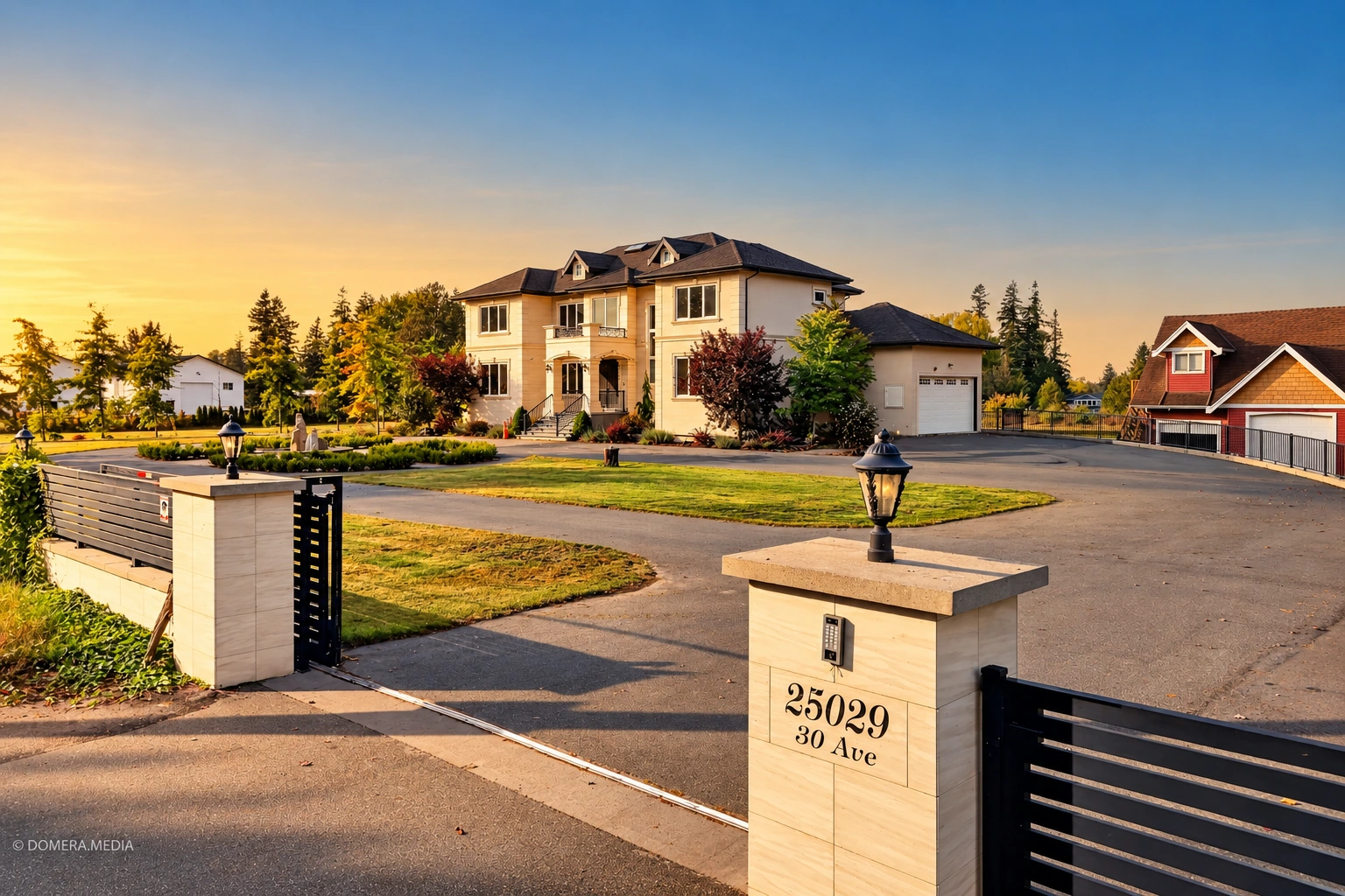
Show the setting around the home.
Drone photography can help explain how a property sits within its surroundings. It can complement ground-level photos of a larger lot, an exterior feature or the relationship between buildings. DOMERA offers aerial drone photos as an add-on and within Signature Listing packages, subject to feasibility at the specific address.
THE SERVICE, EXPLAINED
Aerial views can show the arrangement of a home and its immediate setting. Discuss the features you want to highlight so the images add information rather than simply repeating the exterior photographs.
The aerial photo add-on is $89 CAD. Signature Listing includes up to 10 aerial drone images, with package pricing based on property size and capture subject to feasibility.
Aerial work depends on the address, weather and operating conditions. Confirm availability before planning a listing launch around drone images. Photographs do not establish legal boundaries or measured land area.
PRICING & OPTIONS
Aerial drone photo add-on: $89 CAD. Also included in Signature Listing, starting at $249 CAD for condos under 1,000 sq. ft., where capture is feasible.
See full package inclusions and pricesA SMOOTHER SHOOT
BEFORE YOU BOOK
No. Location, weather and operating conditions determine whether aerial capture is feasible. The address needs to be assessed before you rely on it for the listing.
This service and the published $89 add-on refer to aerial photographs. Discuss drone video separately if you need moving footage.
No. Use appropriate property records or a survey for boundaries. Drone photos provide visual context only.
ACROSS OUR REGION
Based in Abbotsford. Serving these communities by appointment.
YOUR NEXT LISTING STARTS HERE
Share the property address, size and the media you need.